services
Aerial Surveys, Mapping & Inspection
High-resolution aerial data for land surveys, agriculture, and infrastructure inspection.
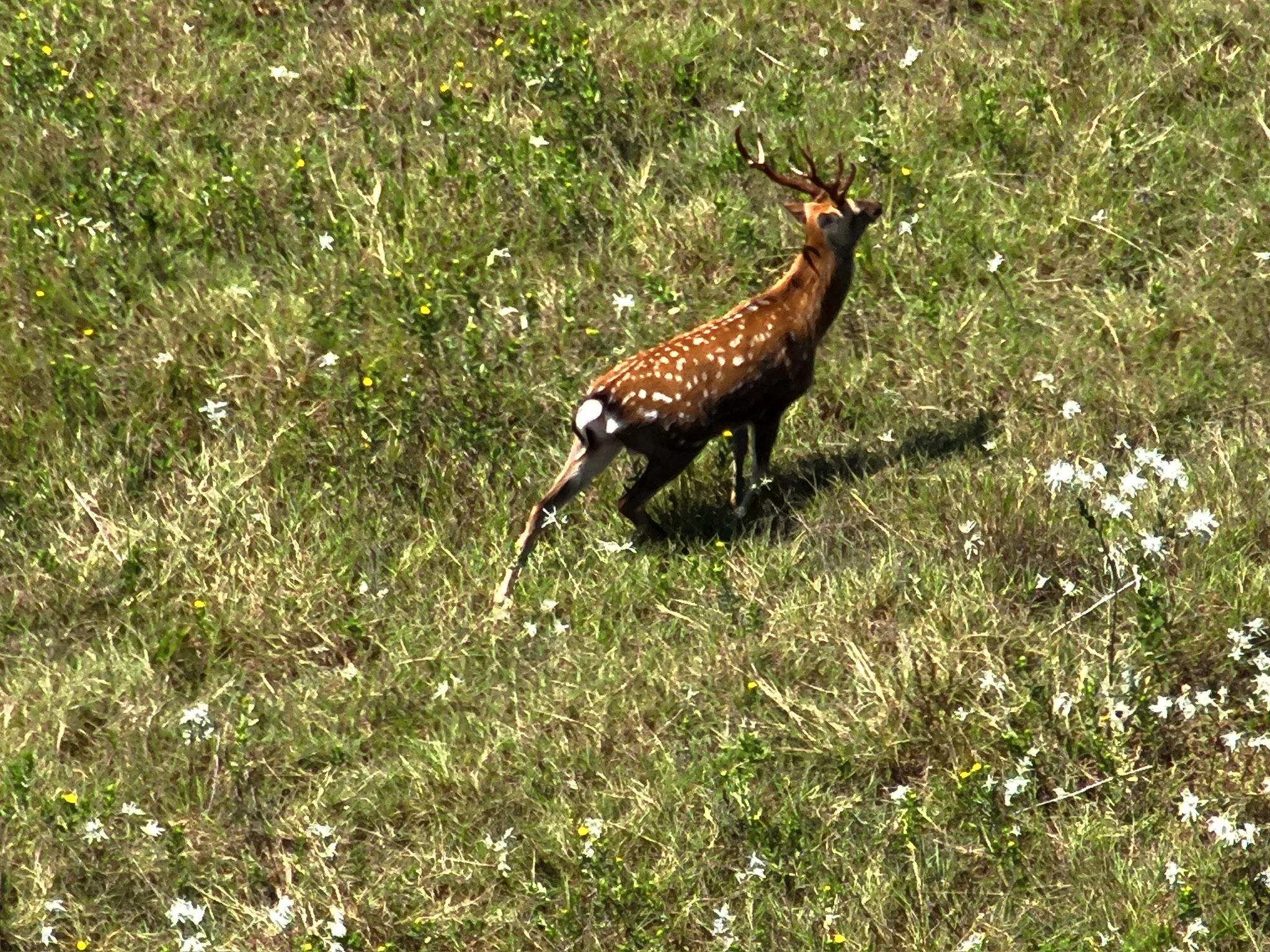
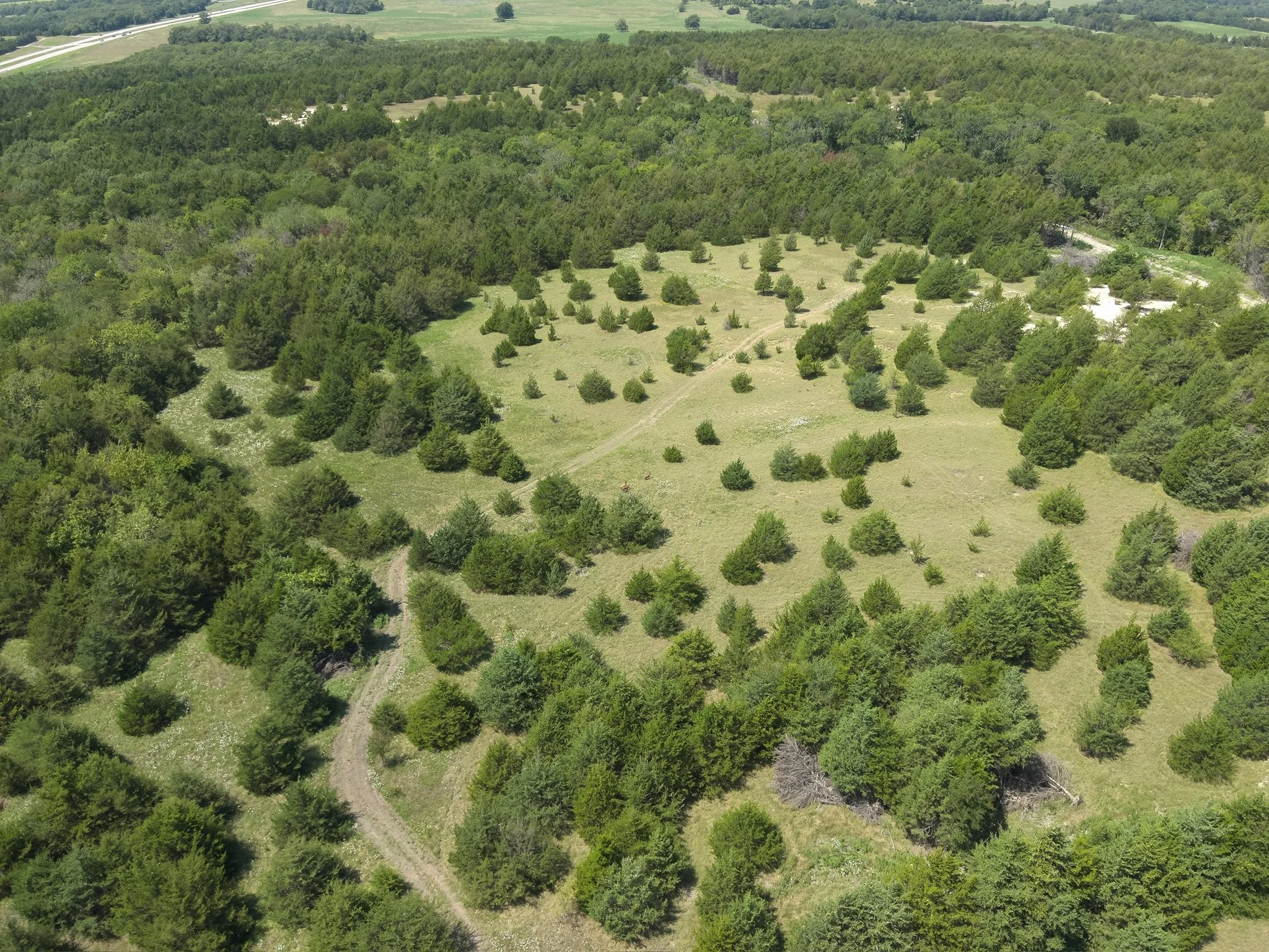
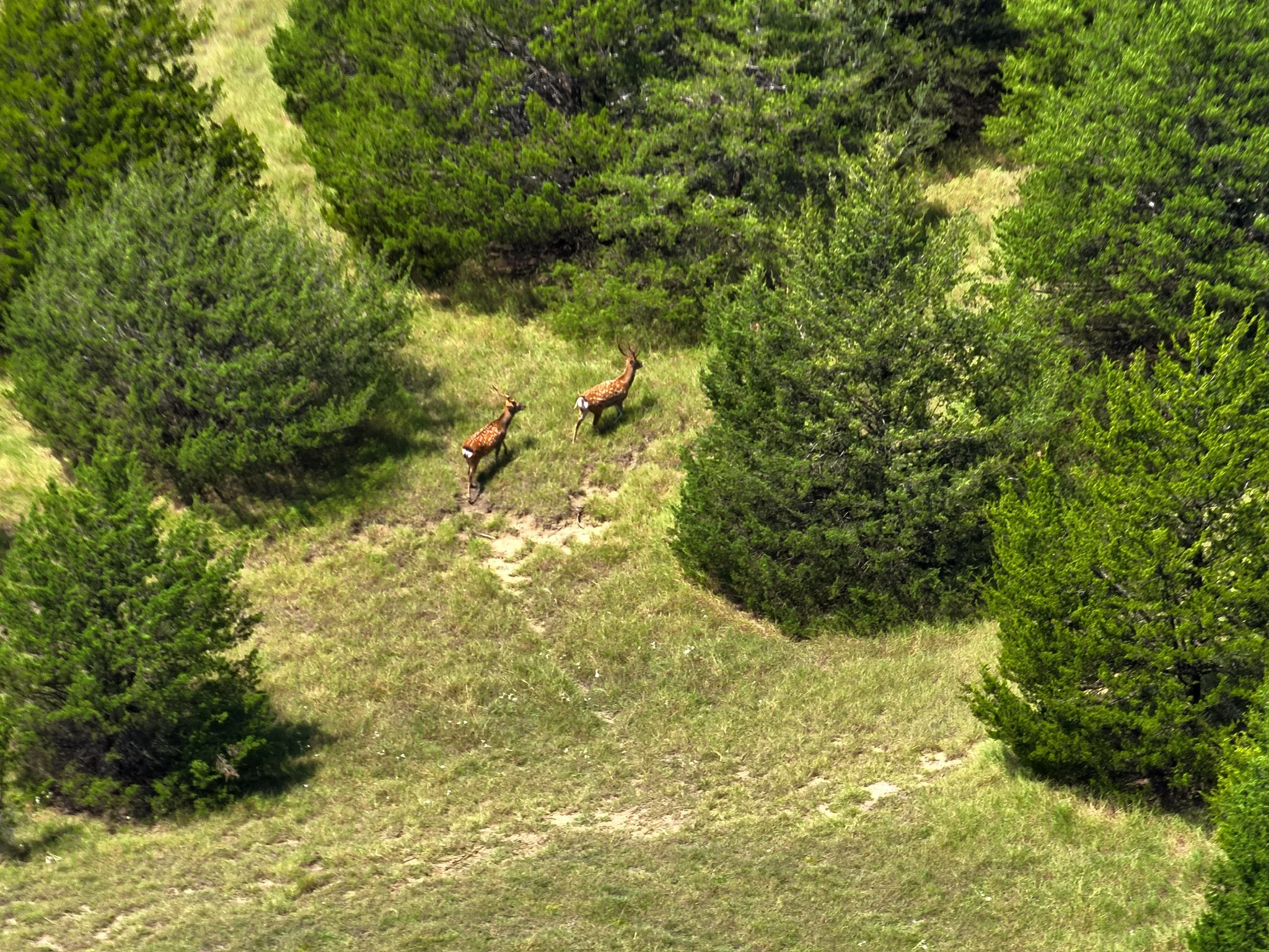
Texas Parks & Wildlife Compliance - Drone services are a fast and accurate option for landowners enrolled in the Managed Lands Deer program to complete their wildlife survey in compliance with Texas Parks & Wildlife each year.
Land Management Support - Aerial surveys provide a method to monitor livestock and habitat. Consistent aerial data season after season gives landowners a clearer picture of wildlife trends, grazing impact, and land use changes.
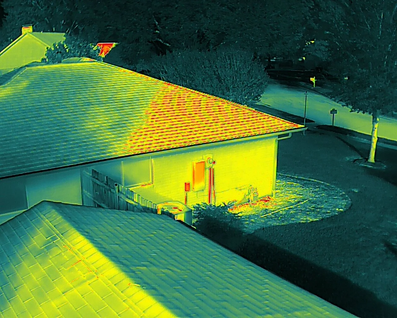
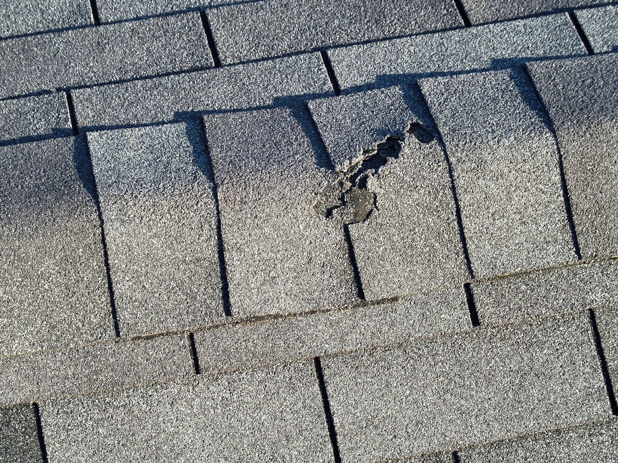
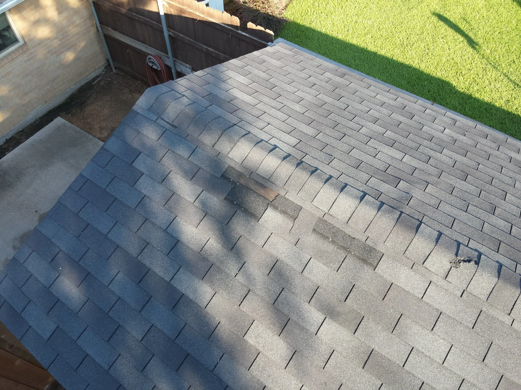
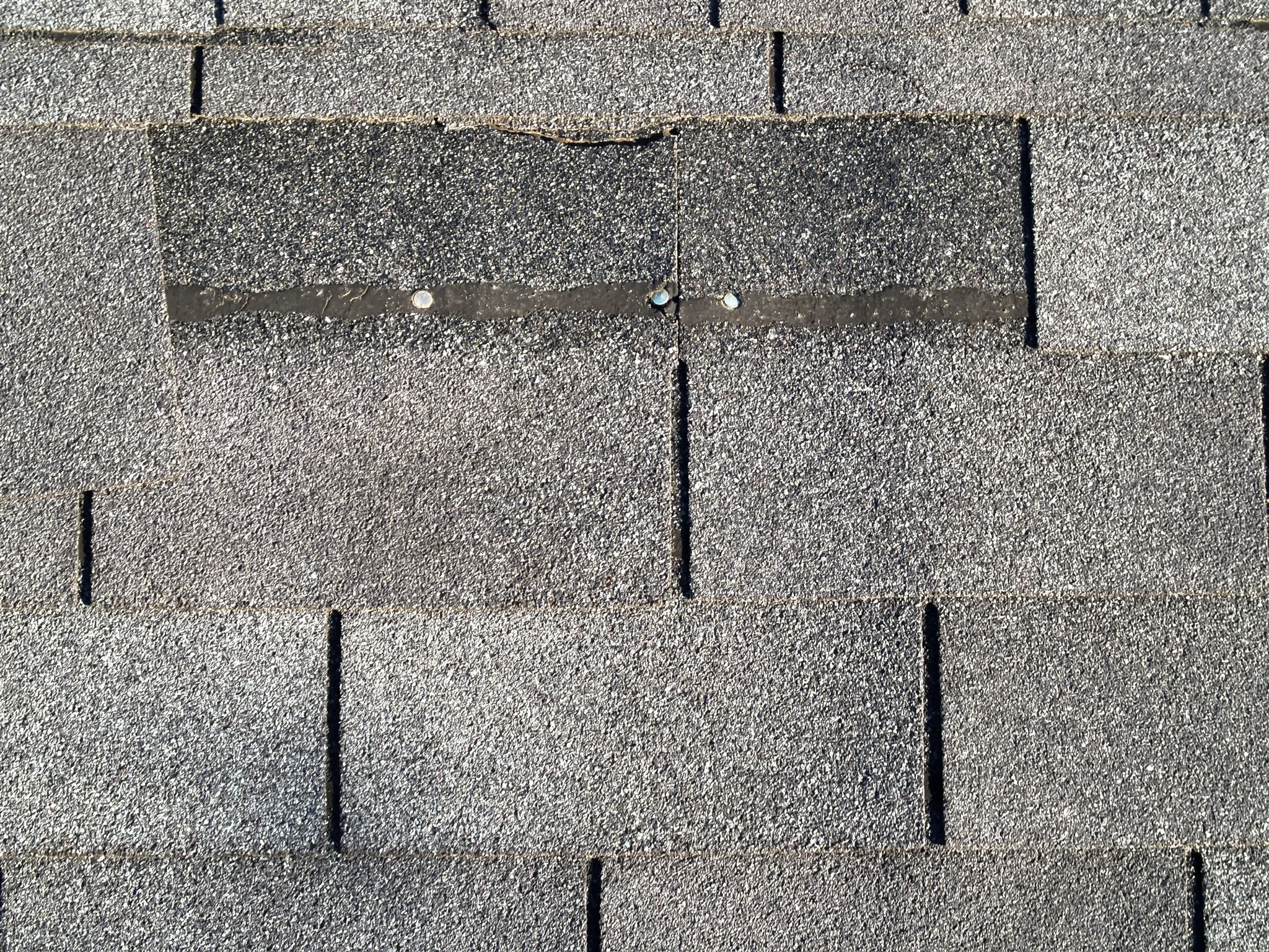
New Construction and Existing Infrastucture - Images and video taken from the sky provide a safe option for inspection of tough to reach places. We help get the job done.
Emergency Response Support - Available for search, rescue, and post-disaster assessments.
Custom solutions available. If you can imagine it, we can fly it.
CONTACT US HERE